Navigating Snow and Ice: Winter Trekking Techniques for Safe Travel
- Published:
- Author: by
- Categories: Safety
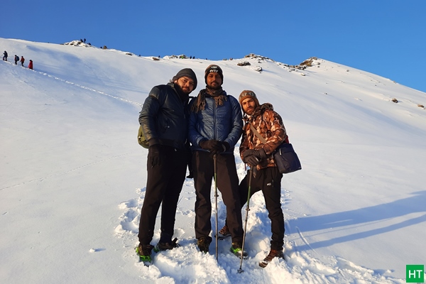
The Himalayas in winter possess a rare kind of charm; the sort that persuades ordinary people to wake up at 4 am, strap on backpacks heavier than their emotional baggage, and gleefully march into knee-deep snow. Powdered forests, sparkling ridges, and the crunch of frost under your boots can feel