

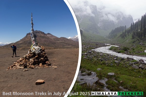
Monsoon Reality Check – July 2025
The monsoon has settled in, but it isn’t treating every corner of the Himalaya the same way. Before we shortlist treks for the next six weeks, here’s the ground truth
India’s 2025 southwest monsoon raced across the peninsula and covered 100 % of the country on 29 June — nine days earlier than the climatological date of 8 July. This is only the 10th occasion since the 1960s that complete national coverage happened in June.
Kashmir & Kishtwar – permits frozen
Pahalgam’s April 2025 terrorist attack on tourists triggered an immediate suspension of trekking and mountaineering permits across Kashmir and the neighbouring Kishtwar range. The order is still in force. No Great Lakes, no Tarsar Marsar, or Warwan Valley treks either for the 2025 season. As we write this article, there are no news updates about lifting the ban.
How the rain is falling (and where)
While we see an early surge, above-normal totals in IMD’s season-to-date tally (1 June–15 July) show a +10% national surplus, but the rain is lopsided when we consider our regions of interest, i.e., the Himalayas. Northwest India (including Himachal & Uttarakhand) sits at +34%, while the East & Northeast subdivision that covers Sikkim and Darjeeling is ‑22% below normal.
Eastern Himalayas (Sikkim / Darjeeling)
Rain gauges in Gangtok read roughly 30% below normal this July, a rare dry patch confirmed by both IMD seasonal-to-date data and NOAA’s anomaly map. However, even with a significant deficit, it is still more than enough to avoid any trekking in the trekking in Sikkim Darjeeling during the months of July and August. We hope that the usual post-monsoon and autumn season will kick in by late September as the rain finally recedes.
Uttarakhand (Garhwal & Kumaon):
Uttarakhand is on target—thanks to its early rain in June, as IMD data shows a +11% as in the season-to-date summary (1 June – 17 July), whereas it is -10% as per the current monthly summary (1 July to 17 July).
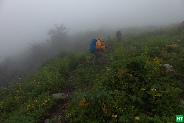
As there are no rain shadow regions in Uttarakhand, July and August are not your usual ideal trekking season for Uttarakhand. Both the Kumaon and Garhwal regions get significant rain; moreover, the long road approach to the base camps and return often become disrupted due to slides and consequent road blockages.
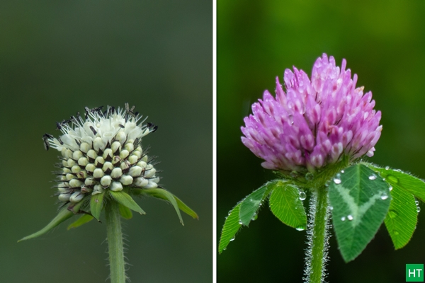
Yet there are a few exceptions, like Valley of Flowers, as you get the blooms only during monsoon months. For those who don’t mind getting drenched trekking on the alpine meadows, i.e., the Bugyals, they are not a bad idea, as these meadows are greenest and dotted with wild flowers during the monsoon. However, mountain views usually remain obscured.
Himachal Pradesh (all regions)
The state has both rainy and rain shadow regions due to the multiple ranges within the Himalayan mountain system. To get a thorough understanding, do read our Himachal Pradesh section in our best monsoon treks in the Indian Himalayas article.
In short, the green lower and mid-Himalayan valleys remain well fed with monsoon, e.g., the Kangra, Shimla, or Kullu-Manali valleys, including the Parvati valley. Whereas there are vast regions within the state, like the Lahaul & Spiti, that fall under the rain shadows. IMD’s data shows a +12% for seasonal June onwards, whereas there is a -5% for July monthly data.
Keeping this in mind, we recommend avoiding monsoon-prone treks like Hampta Pass, Bhrigu Lake, Beas Kund, Chandrakhani Pass, or even Pin Parvati Pass during mid-July to mid-August. Undoubtedly these trails are greenest these days, but there are better seasons for doing these treks before or after the monsoon season.
Leh – Ladakh & Zanskar (Rain‑shadow belt)
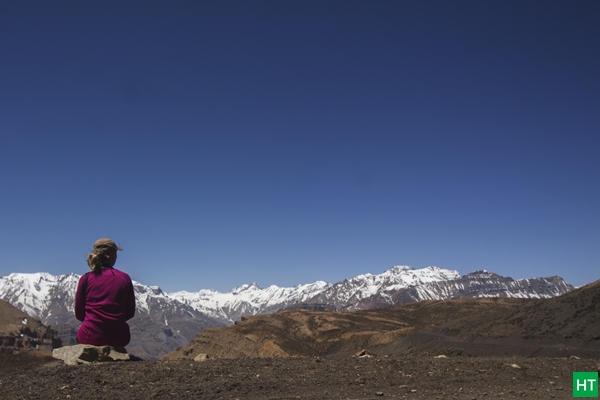
With an annual average of barely 100 mm and a July normal under 15 mm at Leh, this plateau remains the driest pocket of the Indian monsoon; climate charts and trek operators alike flag July–August as its most stable trekking window.
Zoji La (Srinagar–Leh), Baralacha La (Manali–Leh), and Shinku La (Manali–Zanskar–Padum) have been open since early June, so access to all Leh Ladakh region treks and the higher Zanskar circuits is steady. Expect clear skies, strong UV, and occasional short cloudbursts that can swell side gullies, but overall these are the most reliable Himalayan trails during the July–August monsoon peak.
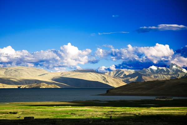
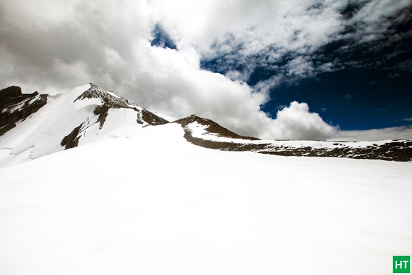
10 best treks to do in monsoon – July August 2025
So when Kashmir is closed for the 2025 season, here is our recommended list for the best trekking routes for your monsoon 2025 adventures.
Valley of Flowers, Garhwal
Key facts – 3 850 m max alt · 6 days ex‑Rishikesh · Easy–Moderate.
Attractions – UNESCO park carpeted in 500+ alpine species; Hemkund Sahib side‑trip; waterfalls on every turn.
Why now? Peak bloom begins mid‑July as monsoon melts the last snow; IMD shows Garhwal rainfall normal yet trails stay open Crowd is thinner than August’s long‑weekend rush.
Spiti Valley Homestay Trek and Monastery Circuit
Key facts – 4 587 m max · 6 days · Easy altitude gain via village stays.
Attractions – Key, Kibber, Langza, Komic monasteries; fossil meadows; night skies rated Bortle‑2 dark.
Why now? Lahaul–Spiti sits under 50 mm July rain—nearly desert dry—while the rest of Himachal is drenched, Homestay beds fill fast during Ladarcha fair (20 Aug).
Parang La, Ladakh to Spiti Crossover
Key facts – 5 580 m pass · 11 days · Demanding glacier & moraine travel.
Attractions – 45 km of Changthang plateau, Pare Chu river gorge, finish at Tso Moriri lake.
Why now? Best window late Jun–mid‑Sep; snow bridges solid in July, rivers manageable. Bikat lists 26 Jul batch near full, indicating strong demand
Markha Valley + Kang Yatse II Summit Combo, Ladakh
Key facts—6 250 m summit · 12 days ex‑Leh · Moderate (valley) to strenuous (summit) · Highest sleeping camp 5 100 m
Attractions—Classic Markha homestay route through willow villages, Hemis National Park, and Kongmaru La (5 150 m), followed by a high‑camp ascent of Kang Yatse II, a non‑technical 6 K dome offering sweeping views of Zanskar and Karakoram. The combo pack includes culture, wildlife, and a first 6 000‑er in one itinerary.
Why now? Ladakh’s rain‑shadow records < 15 mm total July rainfall at Leh; days are long and stable for both acclimatisation walks and the summit push. Early‑season summit queues remain short, and temperatures (‑8 °C pre‑dawn on summit day) are manageable with standard 3‑layer gear.
Pin Bhaba Pass, Kinnaur to Spiti
Key facts – 4 915 m pass · 8 days · Moderate–Hard.
Attractions – Lush Bhaba side, sudden shift to Spiti’s arid moonscape; snow bridges over Bhaba river.
Why now? Jul–mid Sep as safest window; Kinnaur greener, Spiti still dry Good alternative while Hampta Pass is usually rain‑choked.
Miyar Valley & Kang La, Lahaul To Zanskar crossover
Key facts – 5 468 m pass · 10 days · Remote glacier trek.
Attractions – “Valley of Flowers of Lahaul” (moraines of blue poppy), high icefalls, zero crowds.
Why now? Two usable seasons; Indiahikes lists Jun–Jul & Aug–Sep with July best for wildflowers while glaciers are stable
Mt Yunam Peak (6 111 m), Lahaul (Zanskar range)
Key facts – 6 111 m · 5 days ex‑Keylong · Ideal first 6 K peak.
Attractions – Drive‑in base at Bharatpur, scree slope gives way to snow dome, wide Lahoul‑Spiti panorama.
Why now? July–Aug temps 5 °C–15 °C; weather windows clearer than September storms
Ali Bedni Bugyal Meadows in Monsoon, Garhwal
Key facts—3 800 m high point · 6 days ex‑Rishikesh · Moderate · 35 km trail
Attractions—Twin alpine meadows stretching for kilometres; mid‑monsoon carpets of wildflowers (primula, geranium, potentilla) paint the slopes crimson, pink, and yellow. Sunrise views of Trishul and Nanda Ghunti loom only 5 km away as the crow flies.
Why now? Meadows are at their greenest and most florid between mid‑July and late August; Uttarakhand rainfall is near‑normal, so expect regular afternoon showers but no long wash‑outs before midday. The trail remains safe with early starts and well‑drained camps on the bugyals. Options of staying in a green fibre hut in case of incessant rain for a long time.
Rupshu High‑Plateau Trek (Tso Kar → Tso Moriri), Ladakh
Key facts – 4 600 m avg · 8 days · Moderate.
Attractions – Nomadic Changpa camps, black‑necked cranes at Tso Kar, turquoise Tso Moriri finish.
Why now? Rupshu sits in Ladakh’s driest belt; July lakes brim without afternoon storms. Ideal acclimatisation for future 6 K peaks.
Chandratal to Baralacha‑La , Lahaul Traverse
Key facts – 4 890 m · 7 days · Moderate.
Attractions – Milky‑blue Chandratal, Tokpo Gongma river gorge, finish on Leh‑Manali highway at 4 890 m.
Why now – Manali–Leh highway is open; trail snow cleared yet lake still full. Very less rainfall than Kullu side; Lahaul stats show < 40 mm for July
Do feel free to reach out us for any assistance.



Comments