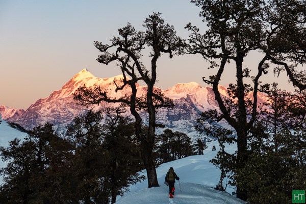
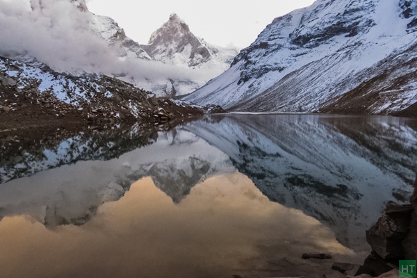
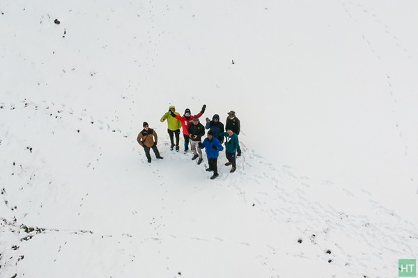
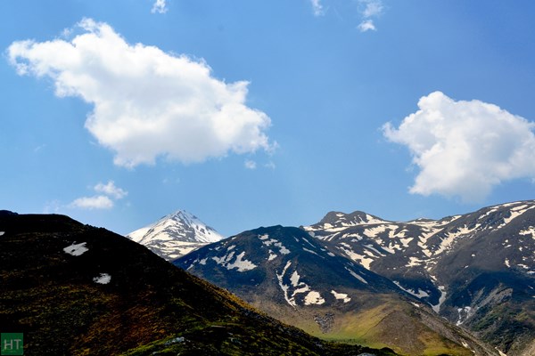
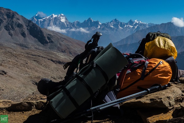
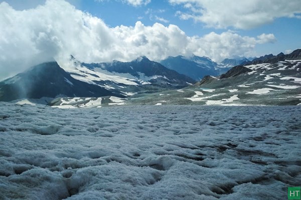
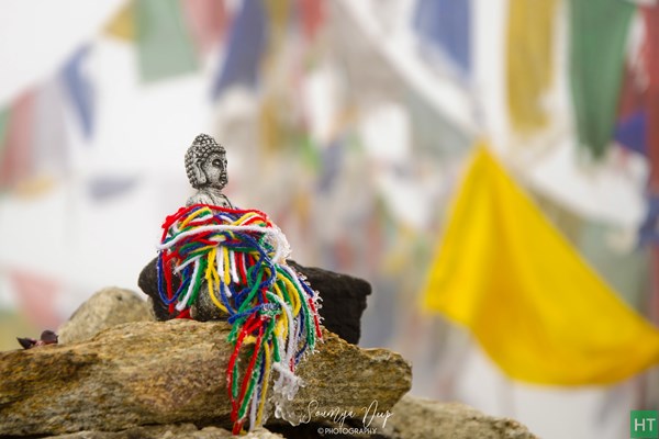
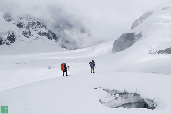
The Trek Blog category is your narrative layer—field diaries, reflective trip reports, and photo‑rich stories that sit alongside formal route reviews and planning guides, adding lived texture (weather turns, snow depth, ridge light, campsite feel) to raw facts. Posts here include personal accounts like Brahmatal trek diaries during December after a very heavy snowfall and Goechala: A treasure of the Orient just after the monsoon, combining dated observations, tagged seasonal context, and imagery.
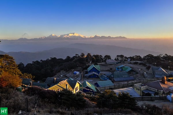
Unlike purely analytical “Route Review” entries or comparative selection guides, Trek Blog pieces capture subjective trail atmosphere and progression over years—early Sandakphu narratives (spring rhododendron bloom, ridge panoramas) and later seasonal reflections help you triangulate how conditions shift across months and years, complementing the structured filters on the main Himalaya Trek Blog hub.
Each diary links outward to planning resources (gear, grading, region filters) so you can move from story inspiration to actionable preparation, while cross‑tags (Photo Story, Trek Blog) surface high‑impact visual sets for routes under consideration—bridging emotional motivation and logistical readiness.
Editorial scope: We include only firsthand, experience‑grounded stories (dated, author‑attributed, seasonally tagged) to preserve authenticity; legacy pieces are retained for historical baseline but may be annotated if current trail realities diverge.