This documentation series curates lesser‑known and logistically demanding Himalayan trekking routes—high, remote passes and multi‑valley linkups that fall outside standard commercial circuits. It focuses on objective facts: access corridors, altitude and watershed crossings, rarity of traffic, and why each traverse matters in the emerging map of Indian Himalayan trekking.
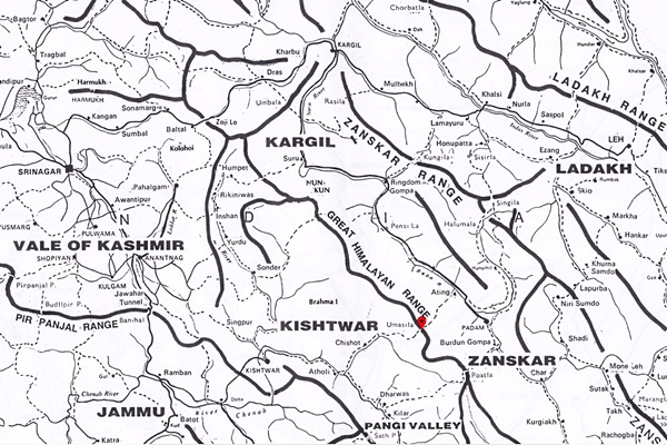
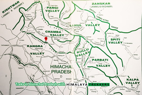
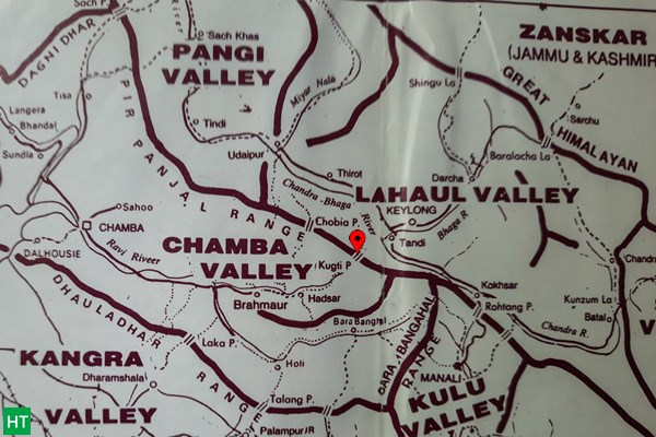
Current published dossiers include Shinka (connecting Tonnes and Baspa valleys), Sara Umga (Parvati/Tosh to Chandra), Phirtse La (Lahaul to Zanskar), Umasi La (Kishtwar to Zanskar), an extended Brij Ganga Dhura variant linking Ralam and Milam valleys with the Nanda Devi East BC approach, Minkiani (Dhauladhar ridge lake approach), the Darcha–Barlacha La–Chandratal circuit in inner Lahaul, and Kugti Pass (Chamba to Lahaul transition).
Each article captures why the trail is seldom visited (approach complexity, glaciated or weather‑sensitive sections, administrative or permit friction) and outlines contextual geography—inter‑basin links (e.g., Tonnes ↔ Baspa; Parvati ↔ Chandra; Kishtwar ↔ Zanskar), elevation brackets (~4000–5500 m class passes), and seasonal feasibility considerations for future expedition-style or exploratory treks.
Use this archive to research progression beyond popular moderate treks: identify acclimatisation ladders, evaluate logistical staging points, and plan ethically low‑impact passage through fragile high valleys. Cross-reference each route note with our Updates (for current access) and Environment category (for stewardship protocols) before finalising an itinerary.