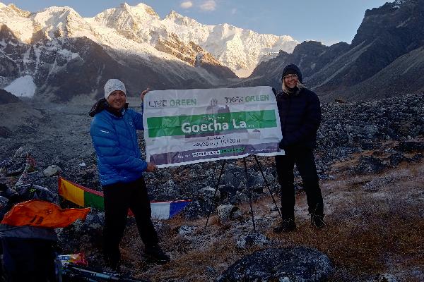
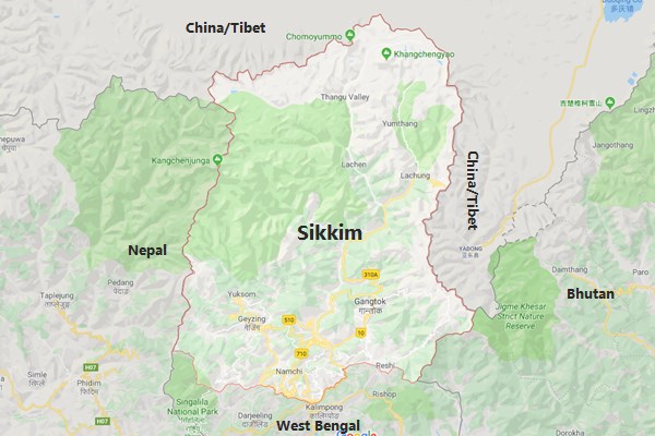
Paperwork and documentation come before you start your actual trekking. Almost every Indian‑Himalayan route sits inside a mosaic of protected zones, border belts, and forest reserves, each governed by its own permit rulebook. Travelling east into Arunachal Pradesh demands an Inner Line Permit (ILP) that you must apply for online or through a registered agent before arrival. A similar ILP is mandatory for treks near sensitive corridors in Ladakh; these can be processed on the LAHDC portal or via local operators in Leh. In Sikkim, foreigners (and some domestic trekkers) add a Protected/Restricted Area Permit to the checklist, issued only through authorised offices and valid for specific routes and group sizes. Himachal Pradesh generally waives documents for popular trails, yet any journey that skirts the Tibetan frontier still calls for a RAP or ILP extension. Forest departments add another layer: Uttarakhand, for example, requires prepaid entry slips for reserve land, and recent orders make a doctor‑signed medical‑fitness certificate compulsory on higher or glacier‑bound treks such as Gaumukh Tapovan. Because many itineraries cross district or state boundaries, you may need two sets of permits—one to start and another when you exit a wildlife division or enter a border zone; factor at least one buffer day for approvals during peak season. This hub collates every current fee, office location, validity rule, and medical requirement, with twice‑yearly audits to keep the information reliable for your next walk.