
Context: This is a field guide for trekkers and trek leaders planning to carry camera drones in the Indian Himalayas. It summarises what’s allowed, where you cannot fly, and what permissions you actually need—then maps common consumer drone models to real-world do’s & don’ts. Table of Contents How India regulates

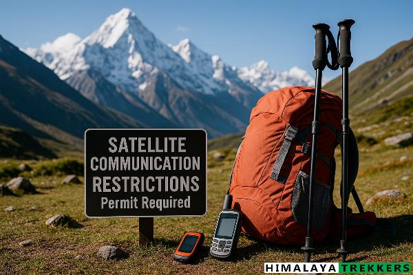
Short answer: Bringing or using satellite phones (Iridium/Thuraya/Inmarsat) or two-way satellite communicators (e.g., Garmin inReach, SPOT, Iridium GO!) in India without prior permission from the Department of Telecommunications (DoT) is illegal. Customs can seize devices on arrival. Trekkers should plan on not carrying these devices. Table of Contents Legal basics:

Who is this for? Independent or well informed trekkers, group leaders and operators planning treks across Arunachal, Sikkim, West Bengal hills (Darjeeling–Singalila), Uttarakhand, Himachal Pradesh, Ladakh (UT) and Kashmir Valley. This hub explains the framework—ILP, PAP/RAP, Forest & National Park permits, and district/police checks—then links to a single, detailed guide

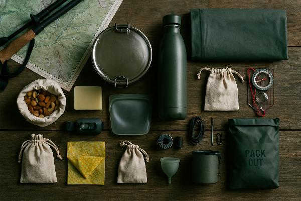
Packing for a Himalayan trek offers a chance to reduce our environmental footprint from the outset. The Himalayas’ fragile ecosystems are struggling under trekkers’ waste—for example, a recent cleanup across the Indian Himalayas found that 60% of collected plastic waste was from non-recyclable multi-layered food packaging. With limited waste management

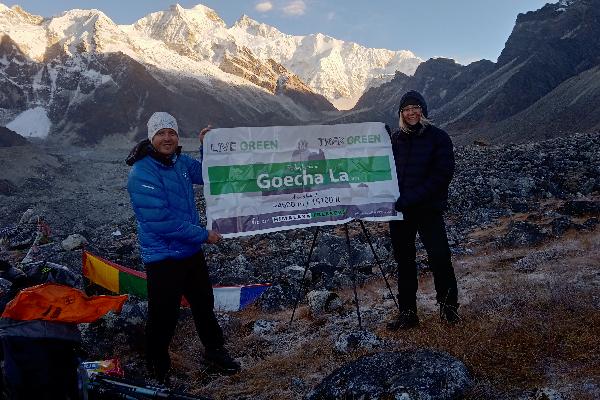
This guide explains how to walk the Goecha La trail inside Khangchendzonga National Park (KNP) on a semi‑independent basis. You still need to hire a registered local guide and secure all permits, entry tickets, and camping fees in advance; fully DIY trekking is not permitted for anyone. Table of Contents

Few routes in Garhwal stitch history, high science, and raw adventure into one continuous line the way the Mandani traverse does. We leave the road at Ransi, and instead of following pilgrims up the Mandakini, we cut across the grain of the range—threading Mandani Bugyal, shouldering over Yangbuk and Bishali